Style Layers
Style layers draw the data of a source on the map. They are the layers of the MapLibre style spec, with every paint and layout property as a typed parameter. Use them for data that annotation layers don't cover, or for large data sets, as the map styles the features itself.
Add a source and a layer that uses it once the style has loaded:
1 2 3 4 5 6 7 8 9 10 11 12 13 14 15 16 17 | |
style.layers also holds the layers of the loaded style. Read them by id,
change their properties, move or remove them:
final roads = style.layers['roads'];
roads?.visible = false;
style.layers.move('route', belowLayerId: 'labels');
await style.layers.remove('earthquakes');
See Paint & Layout for the properties, Expressions for updates at runtime and Click and Hover for events on the features of a layer.
Circle
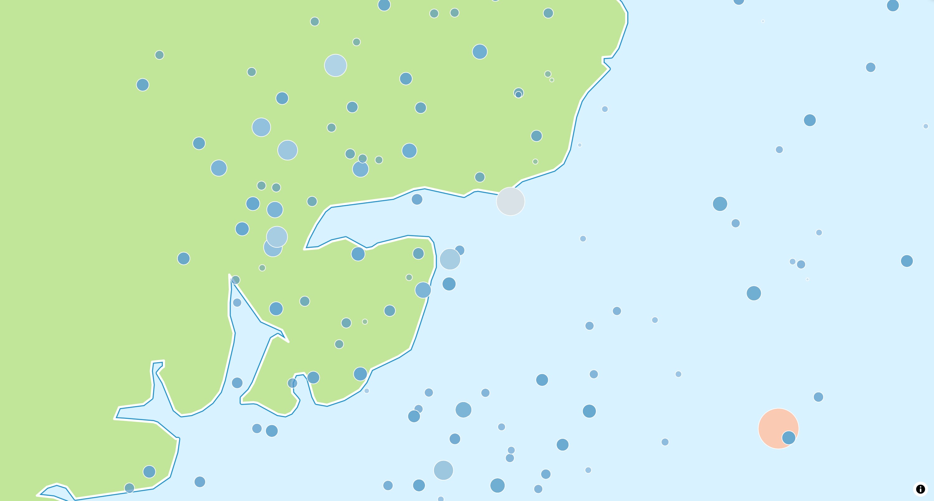
A CircleStyleLayer draws a circle for each point. Use it for point data such
as measurements or events.
await style.layers.add(
  CircleStyleLayer(
    id: 'earthquakes',
    sourceId: 'earthquakes',
    radius: const .literal(6),
    color: const .literal(Colors.red),
  ),
);
See the example app.
Fill
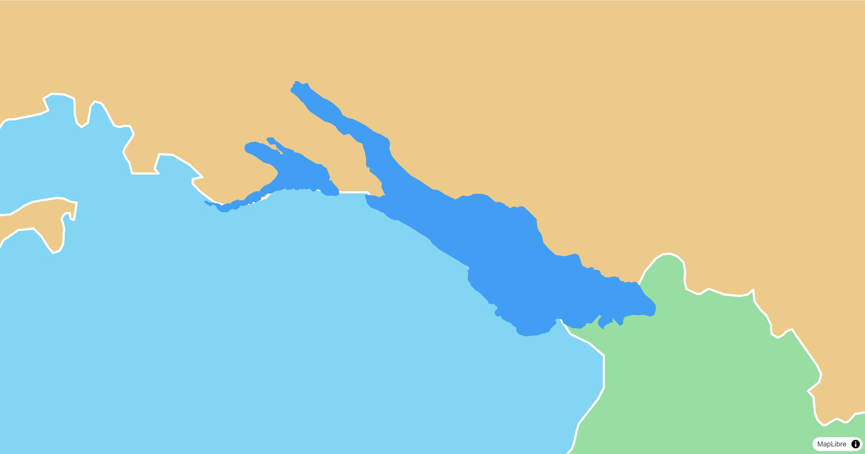
A FillStyleLayer fills polygons, optionally with an outline.
final geojson = await rootBundle.loadString('assets/geojson/lake-constance.json');
await style.sources.add(
  GeoJsonSource.data(id: 'lake', data: .text(geojson)),
);
await style.layers.add(
  FillStyleLayer(
    id: 'lake',
    sourceId: 'lake',
    color: const .literal(Color(0xFF429EF5)),
  ),
);
See the example app.
Fill Extrusion
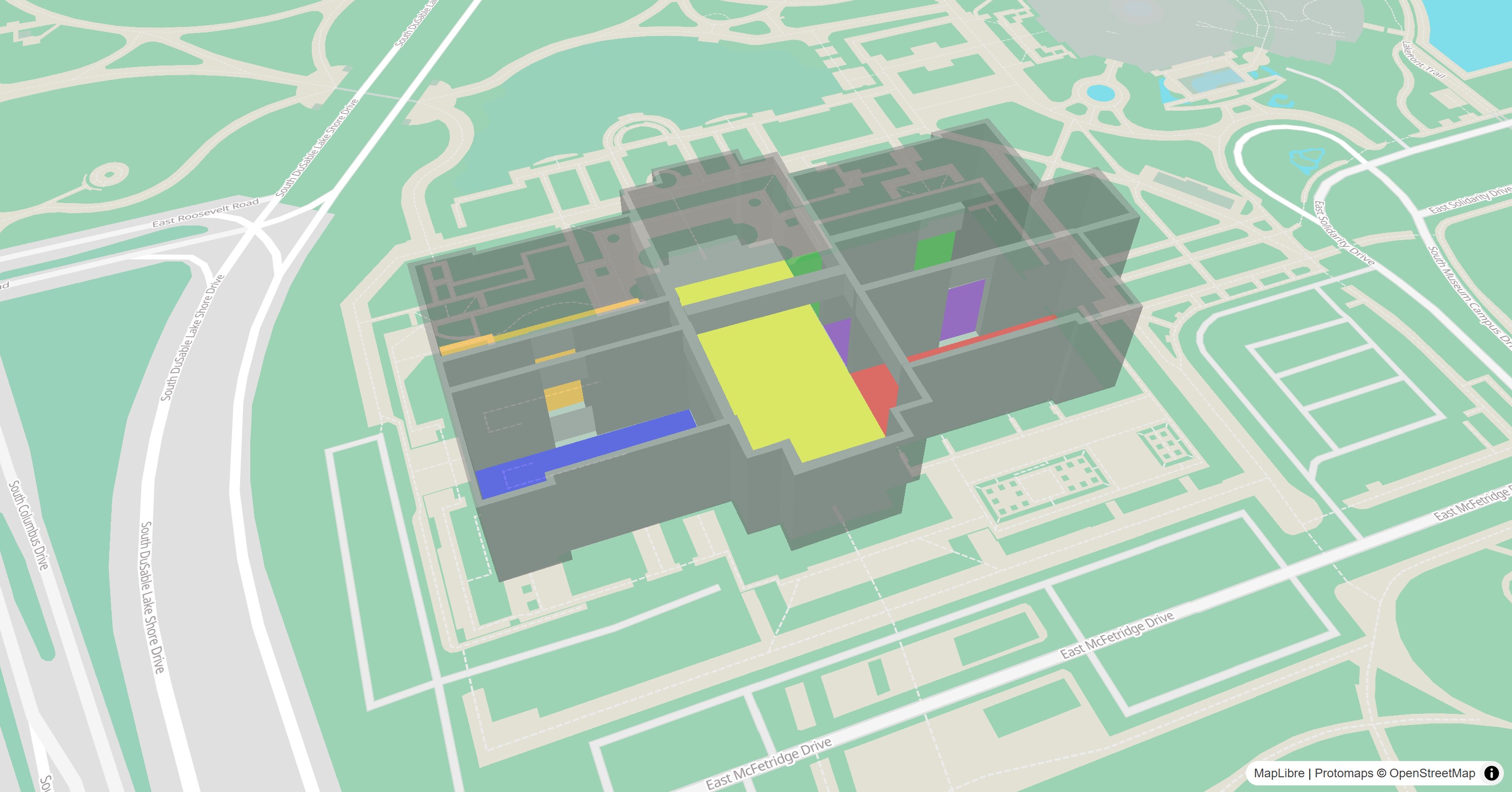
A FillExtrusionStyleLayer extrudes polygons to 3D shapes, such as buildings.
Tilt the map to see their height.
await style.sources.add(
  const GeoJsonSource.url(
    id: 'rooms',
    url: 'https://maplibre.org/maplibre-gl-js/docs/assets/indoor-3d-map.geojson',
  ),
);
await style.layers.add(
  FillExtrusionStyleLayer(
    id: 'rooms',
    sourceId: 'rooms',
    color: .get('color').convertToColor(),
    height: .get('height').asNumber(),
    base: .get('base_height').asNumber(),
    opacity: const .literal(0.5),
  ),
);
See the example app.
Heatmap
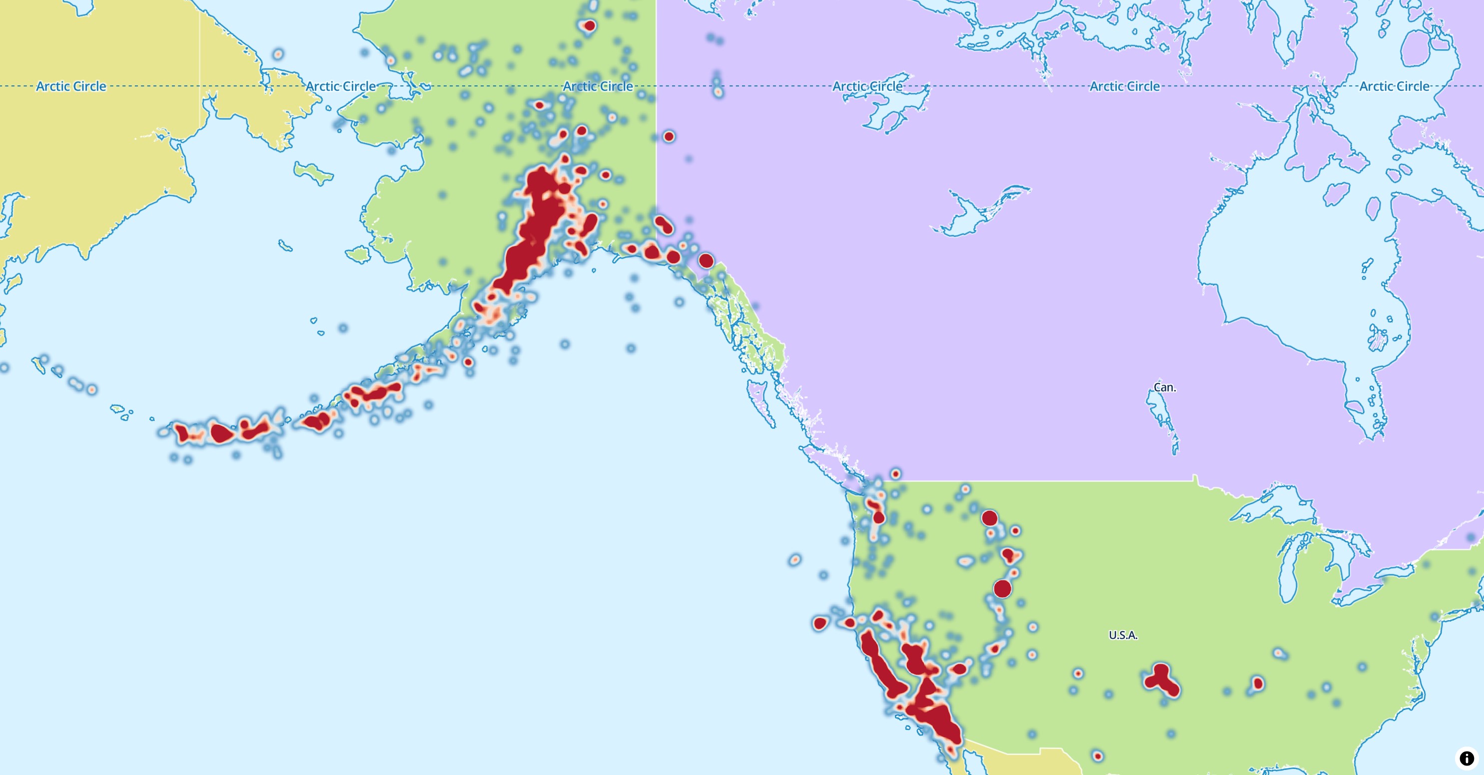
A HeatmapStyleLayer shows the density of points as a color gradient.
await style.layers.add(
  HeatmapStyleLayer(id: 'earthquakes-heat', sourceId: 'earthquakes'),
);
See the example app.
Hillshade
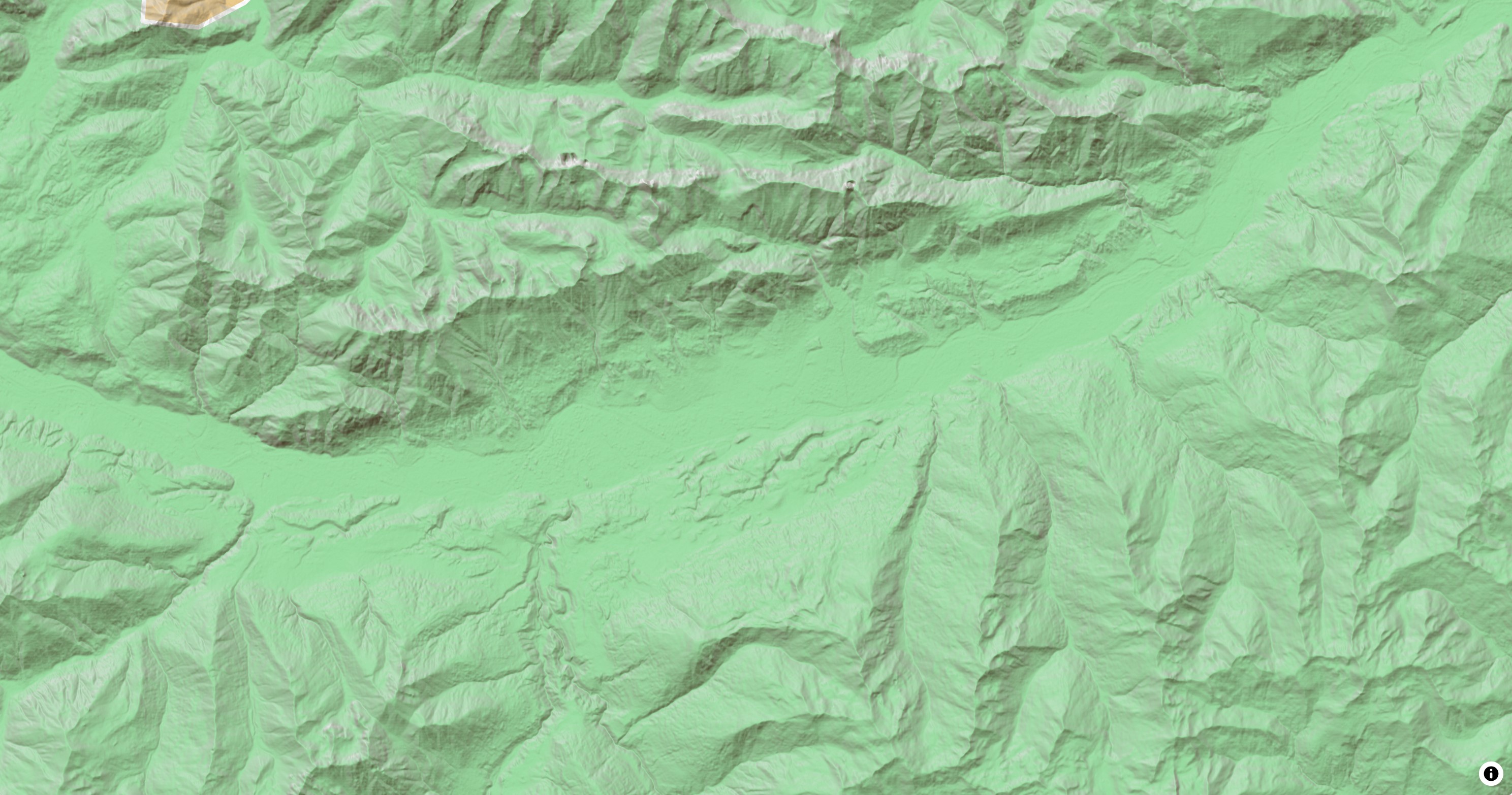
A HillshadeStyleLayer shades terrain from the elevation tiles of a
RasterDemSource.
await style.sources.add(
  const RasterDemSource.url(
    id: 'terrain',
    url: 'https://demotiles.maplibre.org/terrain-tiles/tiles.json',
    tileSize: 256,
  ),
);
await style.layers.add(
  HillshadeStyleLayer(
    id: 'hillshade',
    sourceId: 'terrain',
    shadowColor: const .literal([Color(0xFF473B24)]),
  ),
);
ColorReliefStyleLayer colors the same tiles by elevation.
See the example app.
Line
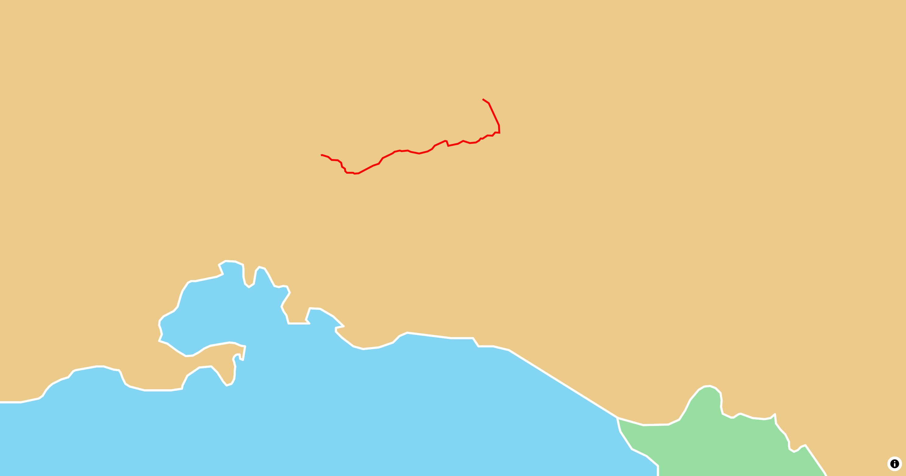
A LineStyleLayer draws lines and the outlines of polygons, such as routes,
roads or borders.
final geojson = await rootBundle.loadString('assets/geojson/path.json');
await style.sources.add(
  GeoJsonSource.data(id: 'path', data: .text(geojson)),
);
await style.layers.add(
  LineStyleLayer(
    id: 'path',
    sourceId: 'path',
    color: const .literal(Color(0xFFFF0000)),
    width: const .literal(3),
  ),
);
See the example app.
Raster
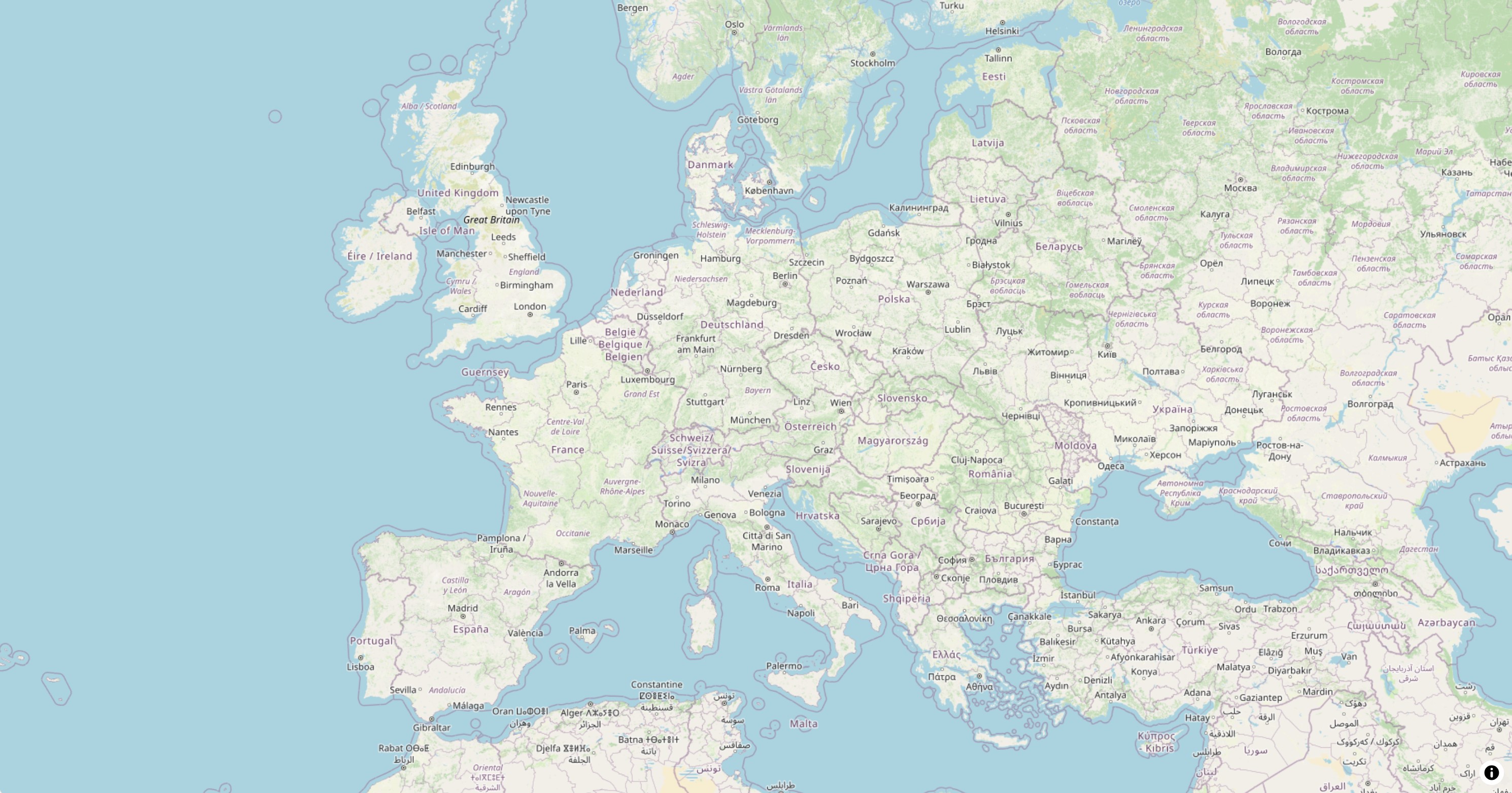
A RasterStyleLayer shows the image tiles of a
RasterSource, such as satellite imagery,
or an image source.
await style.sources.add(
  const RasterSource.tiles(
    id: 'osm',
    tiles: ['https://tile.openstreetmap.org/{z}/{x}/{y}.png'],
    maxZoom: 20,
    tileSize: 256,
    attribution: '© <a href="https://www.openstreetmap.org/copyright">OpenStreetMap contributors</a>',
  ),
);
await style.layers.add(RasterStyleLayer(id: 'osm', sourceId: 'osm'));
See the example app.
Symbol
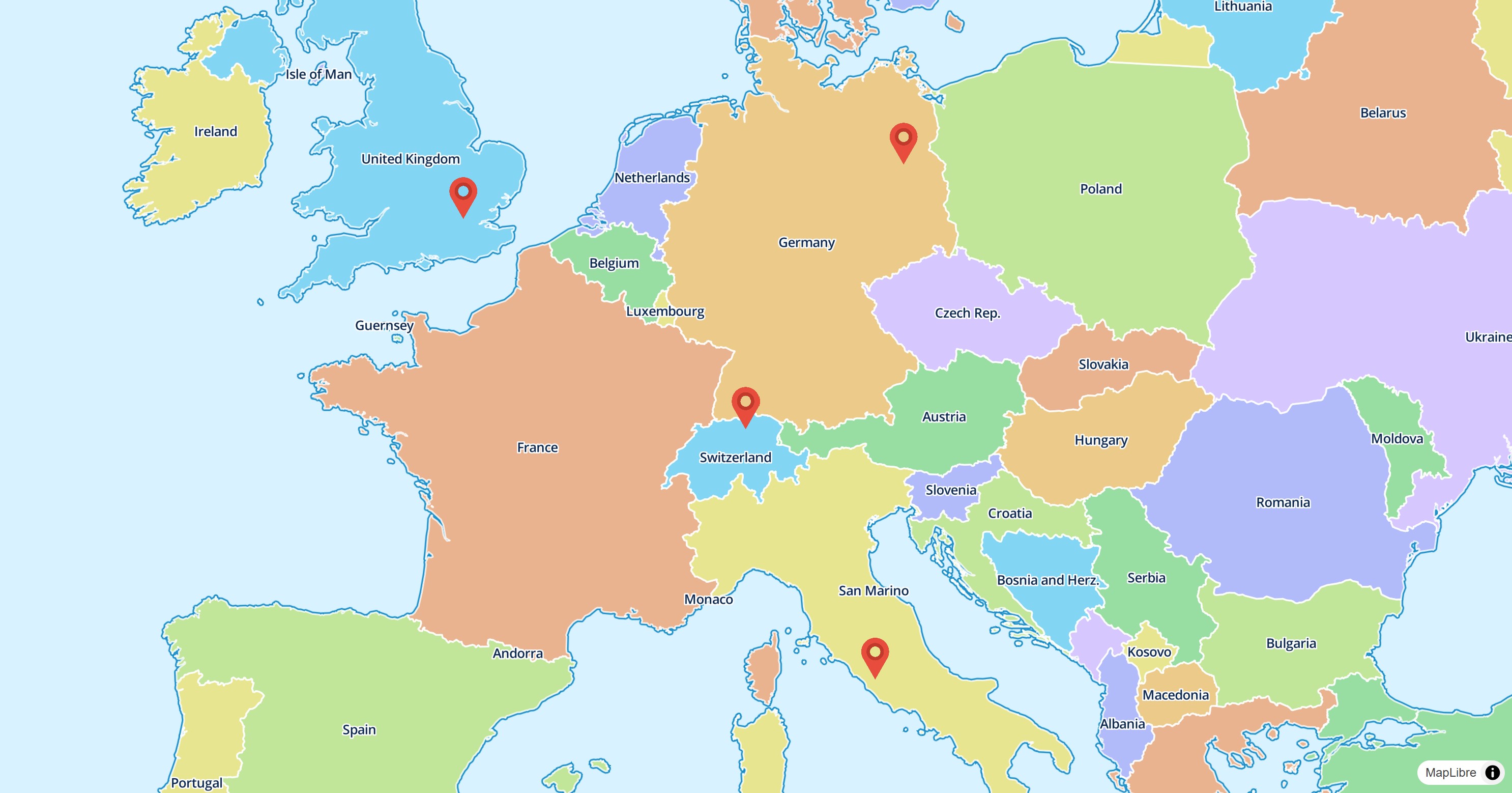
A SymbolStyleLayer draws icons and text labels. Add the icon image to the
style first:
final response = await http.get(Uri.parse(imageUrl));
await style.addImage('marker', response.bodyBytes);

await style.layers.add(
  SymbolStyleLayer(
    id: 'images',
    sourceId: 'points',
    iconImage: const .literal('marker'),
    iconSize: const .literal(0.08),
    iconAnchor: const .literal(IconAnchor.bottom),
  ),
);
See the example app.
Background
A BackgroundStyleLayer fills the whole map with a color or a pattern. It
has no source.
await style.layers.add(
  BackgroundStyleLayer(id: 'background', color: const .literal(Colors.white)),
);